Driving south of Encenada took us through vineyards that were sprouting up to produce grapes for their burgeoning wine industry. Further south were large commercial farms that stretched for miles, growing strawberries, tomatoes, fruits and vegetables. This was large-scale industrial farming! Aren’t we lucky these farms exist as we visit our supermarkets in Canada?
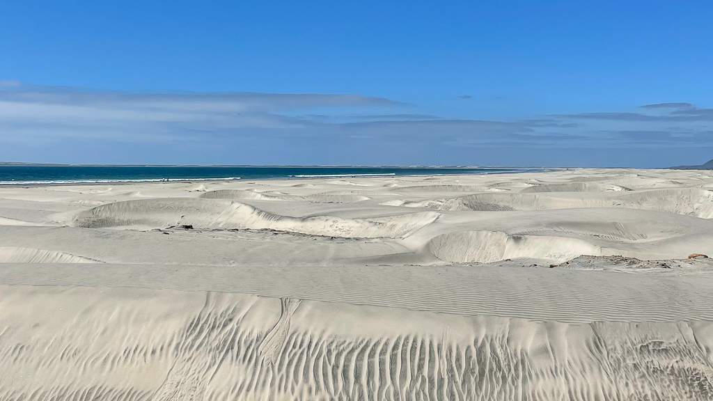
We stopped at San Quintin to check out a hotel that had been recommended. The adjacent beach and sand dunes were endless. It would be a nice stop and a potential kiting spot on a windy day!
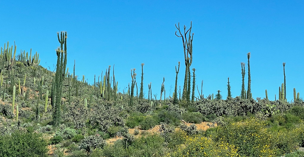
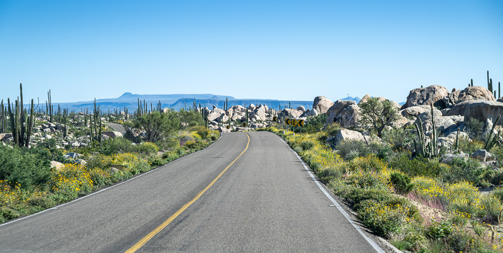
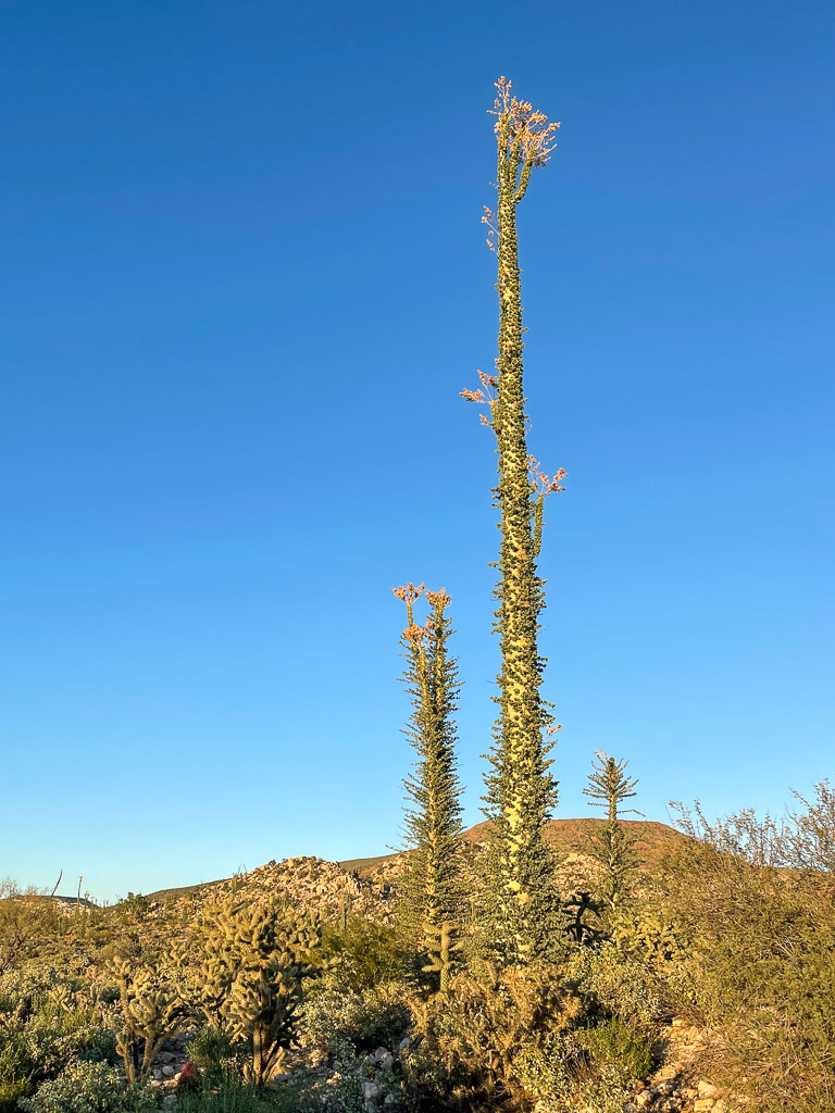
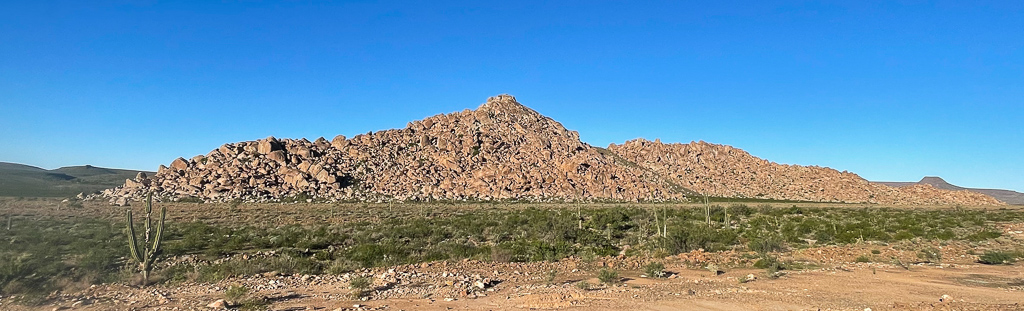
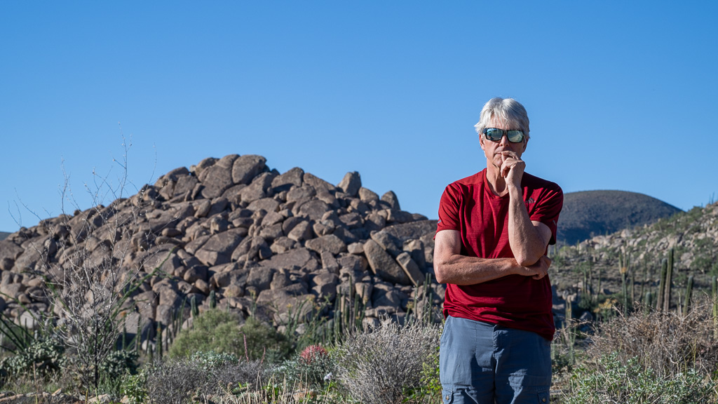
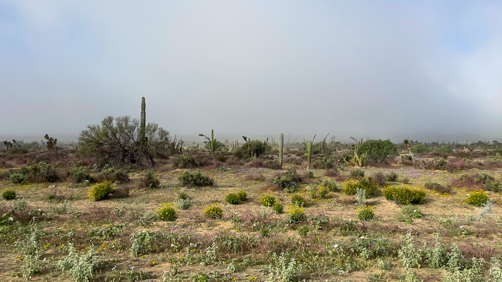
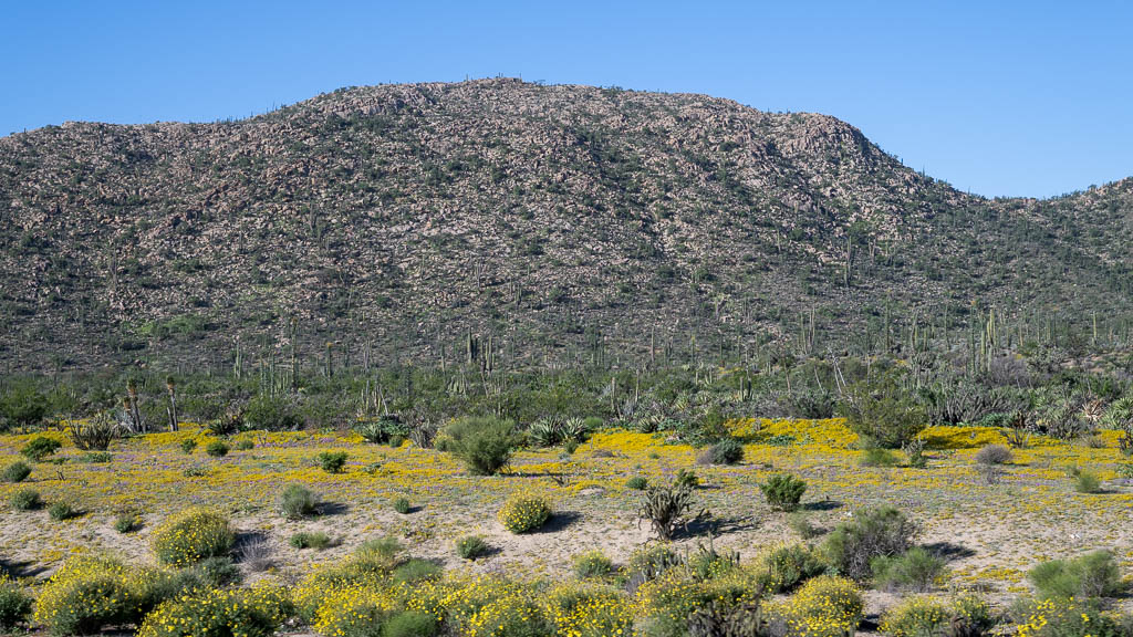
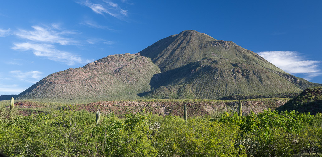
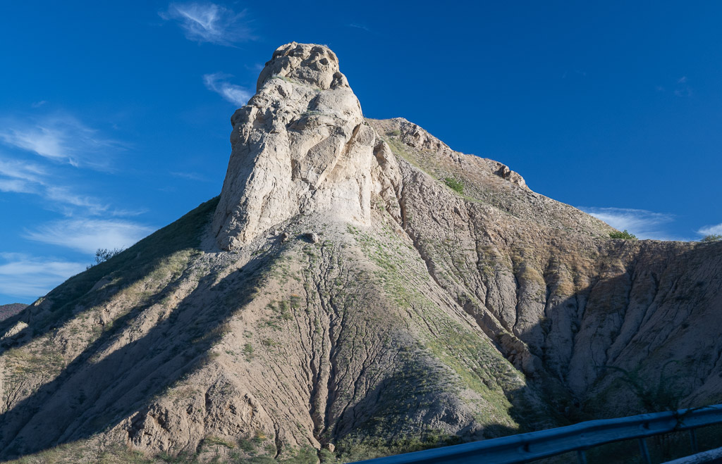
The vistas as we drove south were an unexpected “feast for the eyes”! A hurricane in September dumped torrential rains on the desert, the first in years. The result was a lush green landscape dotted with multi-coloured flowers. The geology of the different areas varied with huge rounded boulders piled high, plains and volcanic mountains. With no shoulder and narrow highways, it was difficult to pull off to take photos. Sorry I can’t provide a better sense of the beauty but we felt fortunate to see the desert in this healthy state.


We stopped for the night at another Hotel Mision Santa Maria in Catavina. After getting settled in our room, I wanted to drive back a few miles and take pictures of the desert at sunset but the light was dropping too quickly. The hotel had an on-site restaurant and we could park our car outside the hotel room door. It felt very safe, but Monty insisted on taking our gear, bikes and valuables into our room, as the hotel was just off the highway.
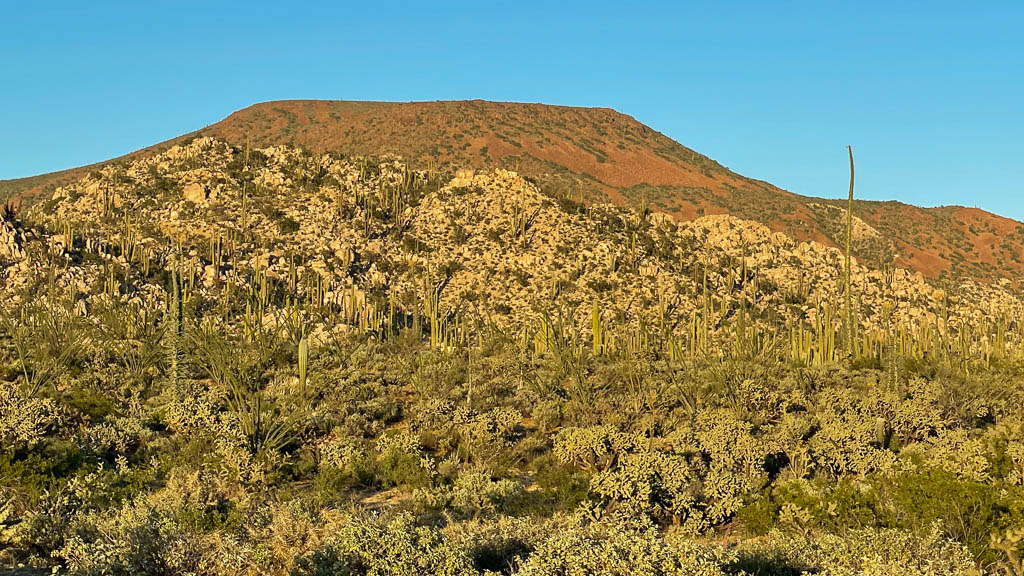
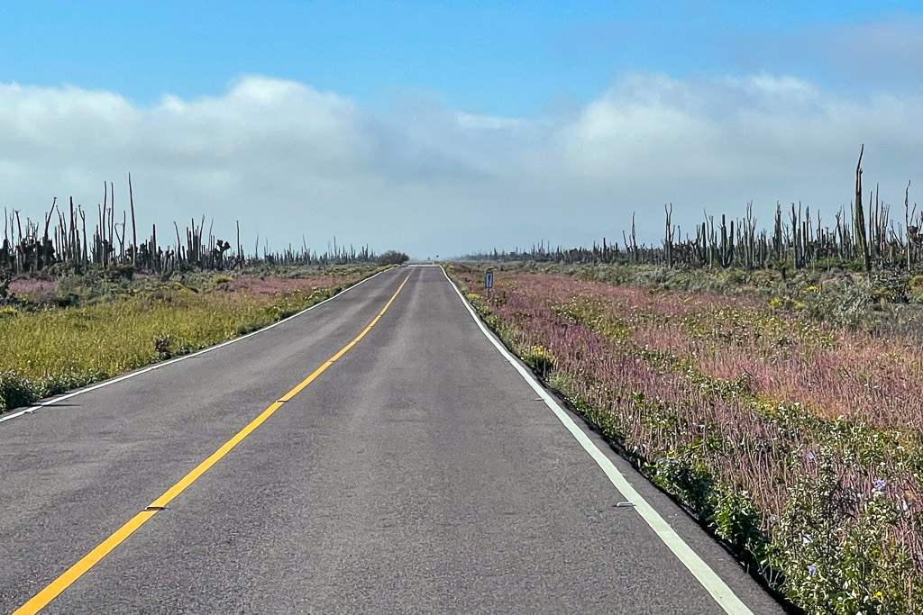
The next day, south of Catavina, we encountered more varied geological formations. Many of these images were taken with an iPhone through a windshield or side window, without slowing down. Thanks for your understanding.

When we faced oncoming trucks, Monty would move as far over in the lane as possible. The highway was narrow with no shoulder so, on meeting semis with big loads, we sometimes held our breath.
Coming up behind a big truck, we learned to be patient. Truck drivers would put their left passing indicator on to tell us when it was safe to pass. We found the drivers were safety conscious and courteous.
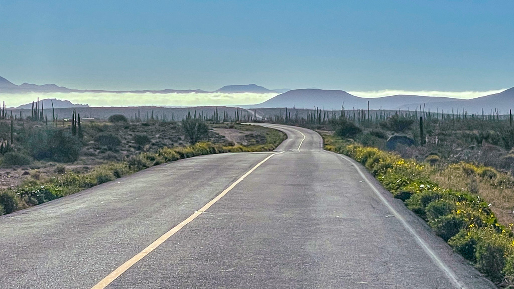
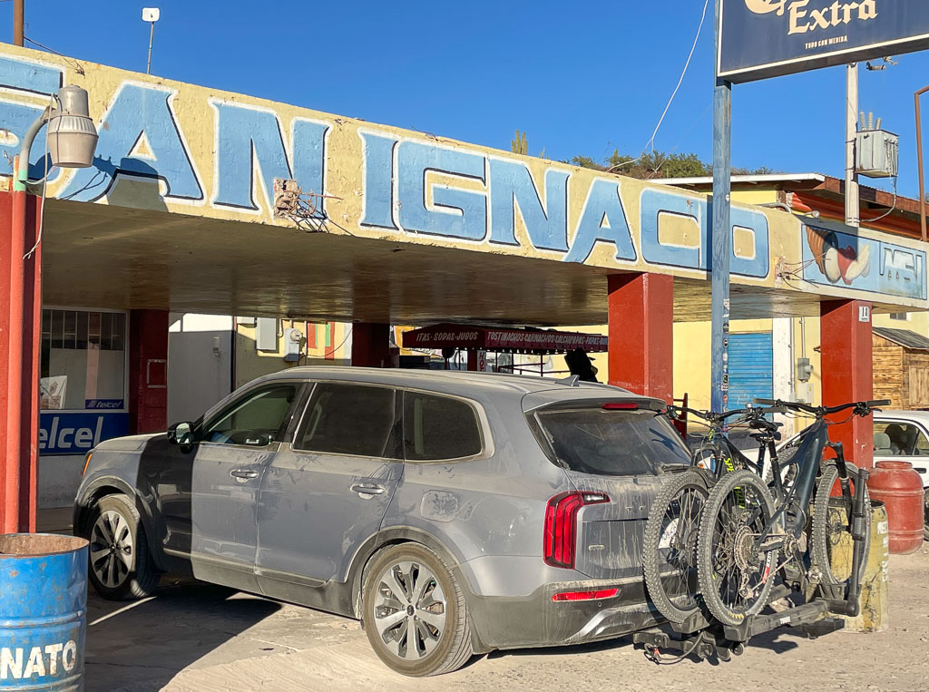
South of Guerrero Negro, the highway cut through Reserva de la Biosfera Vizcaino which stretches across the entire peninsula from the Pacific to the Sea of Cortez. Good for Mexico to protect this area with a diverse abundance of cactus, plants and animals! The highway had several long stretches of construction zones to widen the road or fix washouts from the hurricane. We followed large semi-transport trucks for miles of bumpy dusty dirt section. We had been informed we would encounter these delays. We made our destination, San Ignacio, before dark, as planned.
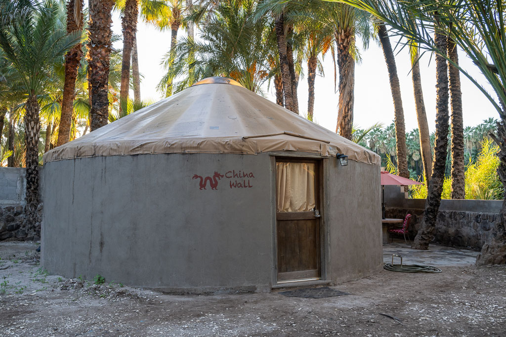
That night we stayed in a yurt at Ignacio Springs, a B&B owned by Canadians. Each yurt is decorated with a theme. In September, the resort had been devastated by several feet of flooding waters from the hurricane but was mostly back in good order when we arrived. A fire in the summer had destroyed their main building which housed their kitchen but work was underway to rebuild.

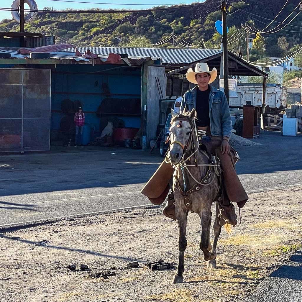
Before dinner, we rode our bikes into town for a short tour.
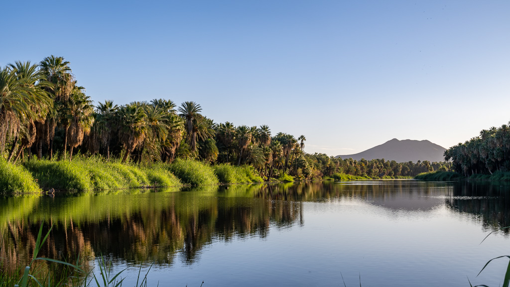
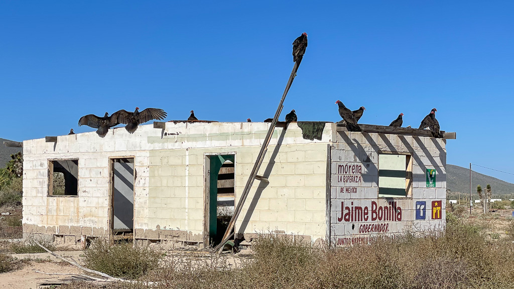
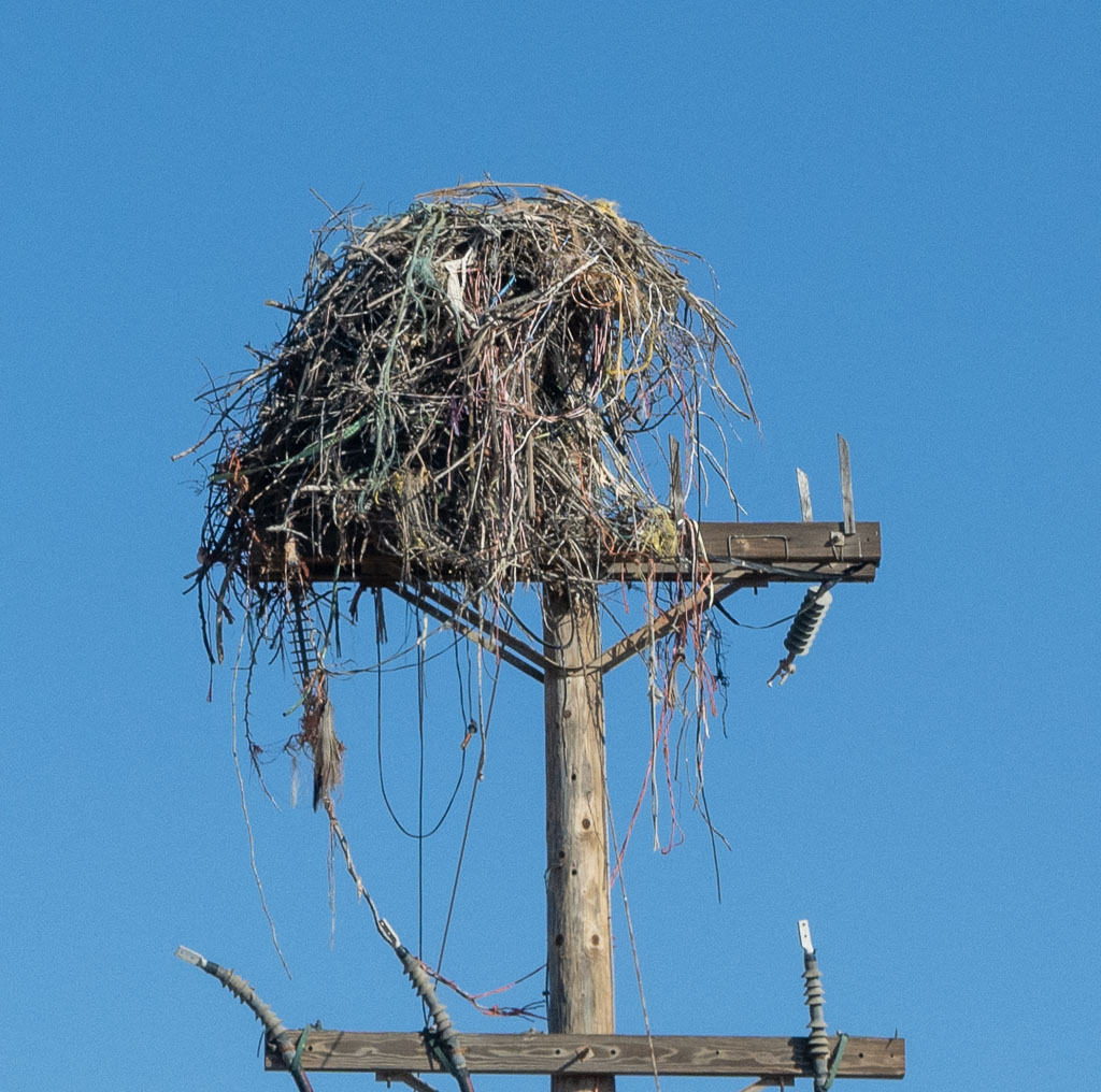
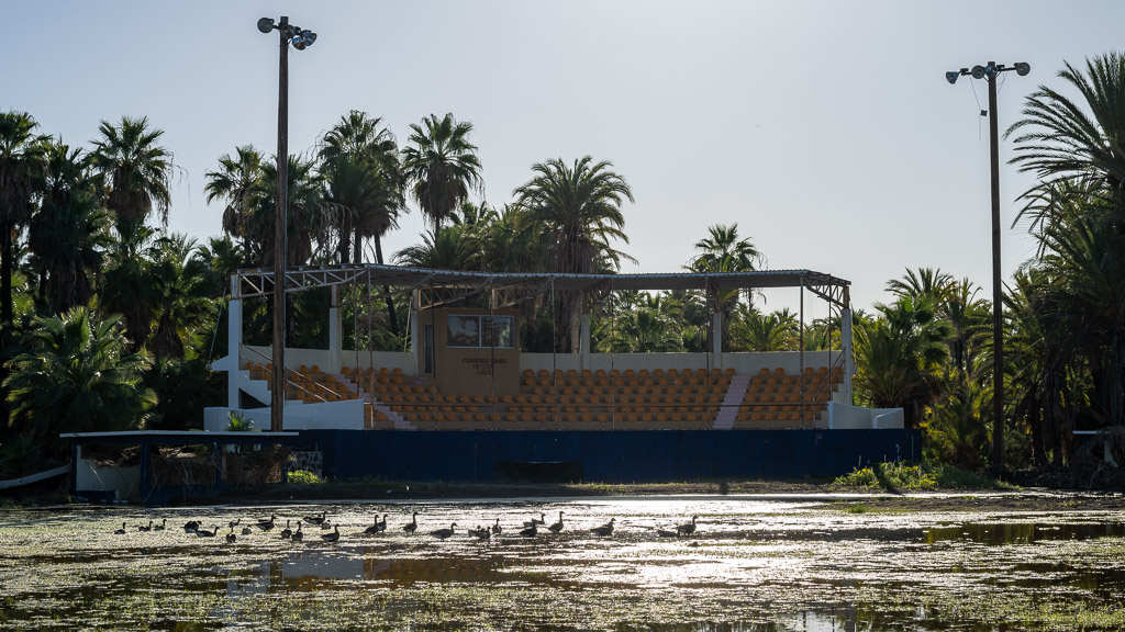
Rains from Hurricane Kay in September had flooded the area. The ball field was still under water. Many migrating birds were stopping to rest in the area as there is a spring-fed oasis in town.
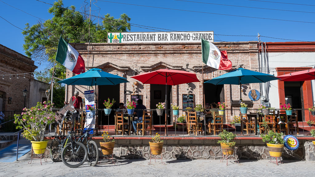
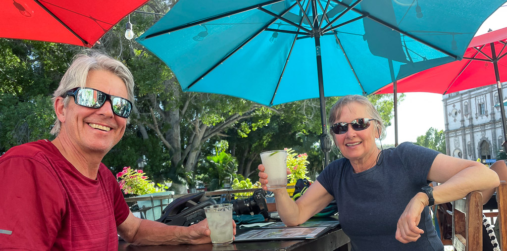
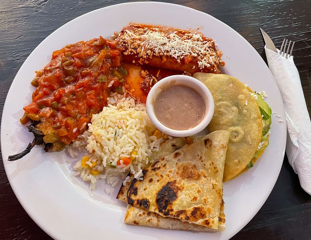
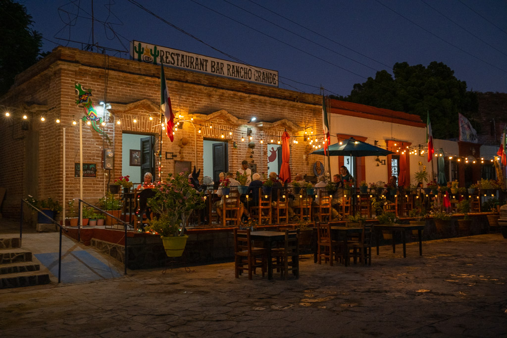
For dinner we dined at Restaurant Bar Rancho Grande, who claims to have the best Margaritas in Baja!

Our hosts at the B&B served a Canadian style breakfast at 7am so we could have an early start. The drive to Loreto took us through a picturesque mountainous region. Some were almost as high as Whistler Mountain!
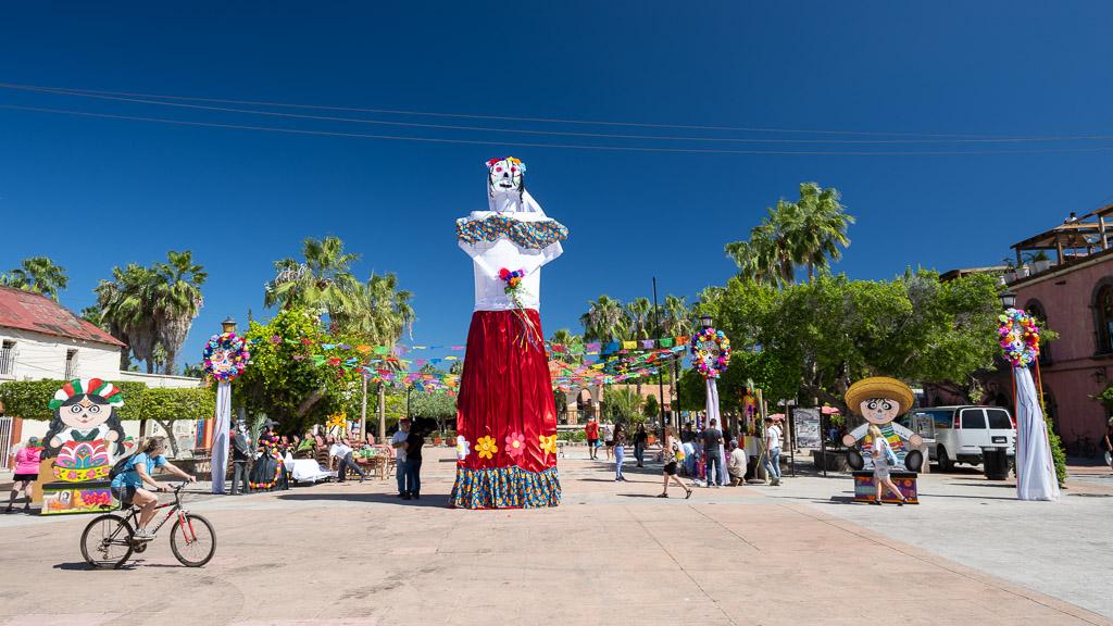
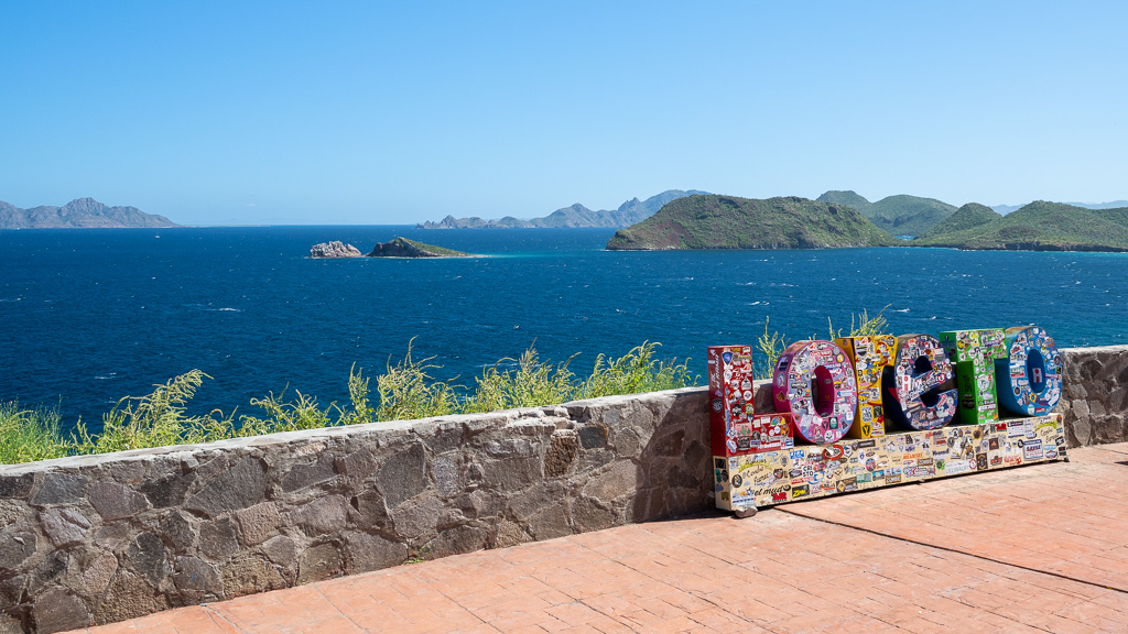
We briefly drove through the city of Loreto which was preparing for the Day of the Dead, celebrated on November 2nd.

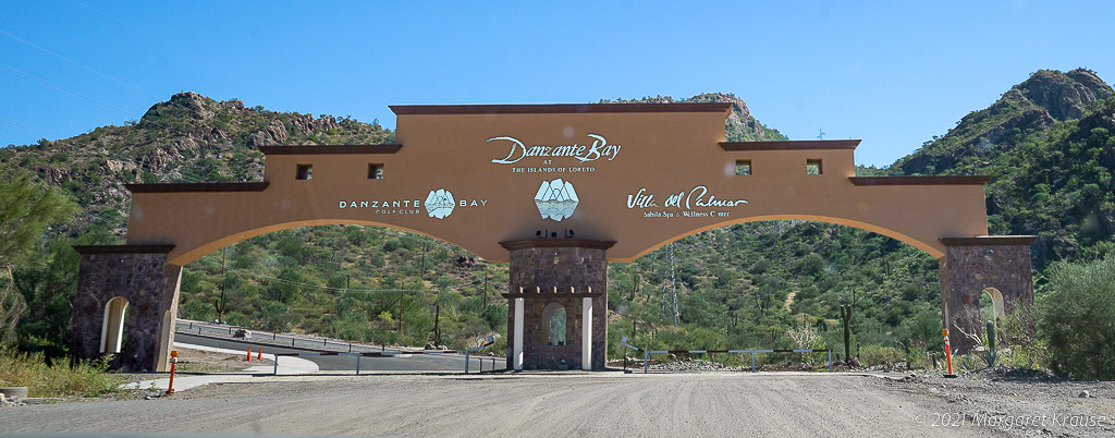
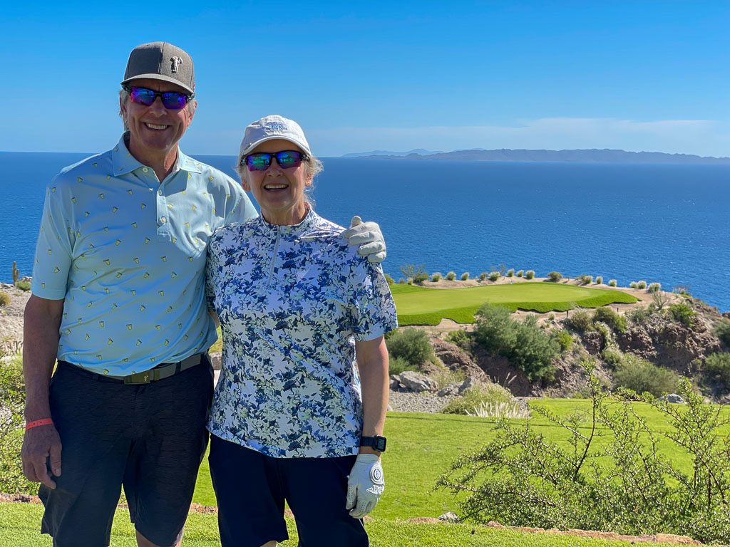
Next is our visit to TPC Danzante Bay Golf Resort.